
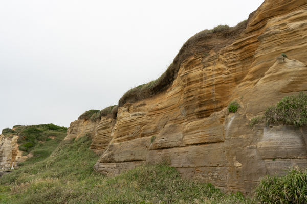
Satta Pass in Shizuoka Prefecture was once said to be one of the three most difficult spots on the Tokaido. Satta Pass was depicted in famous ukiyo-e prints during the Edo period due to its steep cliffs. However, due to major construction work being carried out along the coastline, the area has now undergone a major transformation as the best viewing point of Mt.
Fuji on Tokaido. Therefore, it has become a famous place that everyone knows. This time, we will introduce in detail the Satta Pass in Shizuoka Prefecture, a difficult point on a steep cliff that has the best view of Mt. Fuji on the Tokaido.
① 【Satta Pass】 Spectacular view spot of expressway and Mt. Fuji!!

Satta Pass is a mountain pass located in Shimizu Ward, Shizuoka City, Shizuoka Prefecture. It is written in kanji as “Satta Pass”. Because the characters are difficult, more and more cases are being written in hiragana.
❶What is the origin of the name Satta Pass?
Satta Pass is also depicted in ukiyo-e prints. The ukiyo-e depicting Satta Pass is Hiroshige Utagawa’s ″Fifty-three Stations of the Tokaido”. It is said that this work was painted in 1833 by Hiroshige Utagawa when he was 37 years old. The work depicts three people crossing the Satta Pass at that time. The key to the composition of this ukiyo-e is that it depicts three people as if they are about to fall down a 45-degree slope, expressing the fact that Satta Pass was a very difficult place at the time.
❸Satta Pass is one of the three most difficult spots on the Tokaido.
When Hiroshige Utagawa depicted it in his ukiyo-e prints, Satta Pass was called one of the three most difficult spots on the Tokaido. The three most difficult places on the Tokaido are Satta Pass, Hakone Pass, and Suzuka Pass.
❹This is a scenic spot where you can see Mt. Fuji.
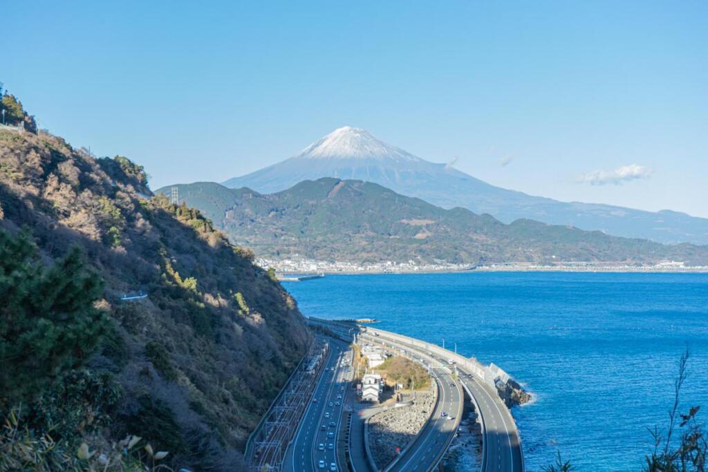
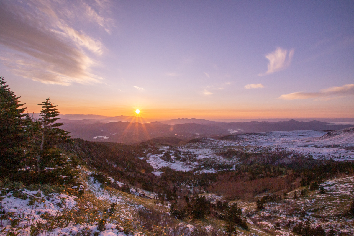
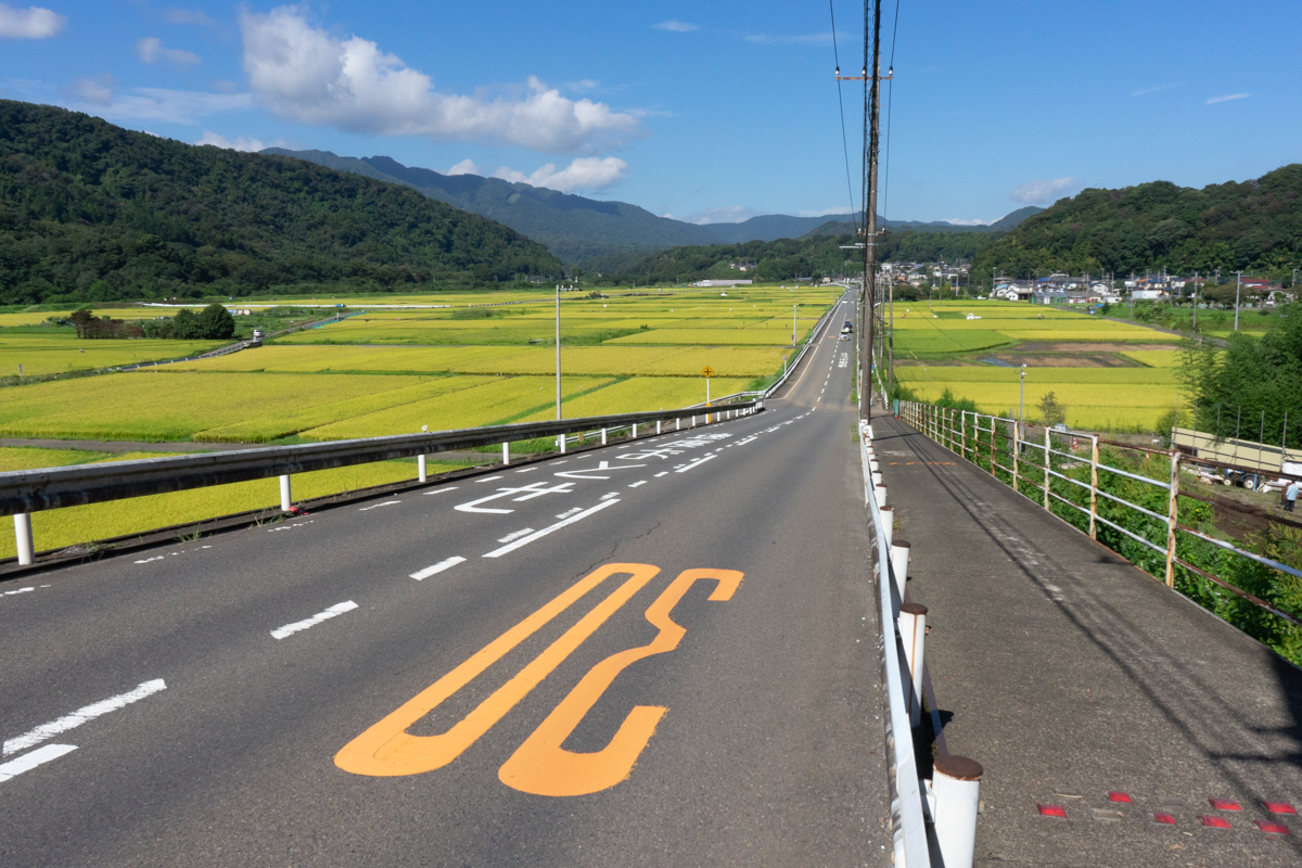
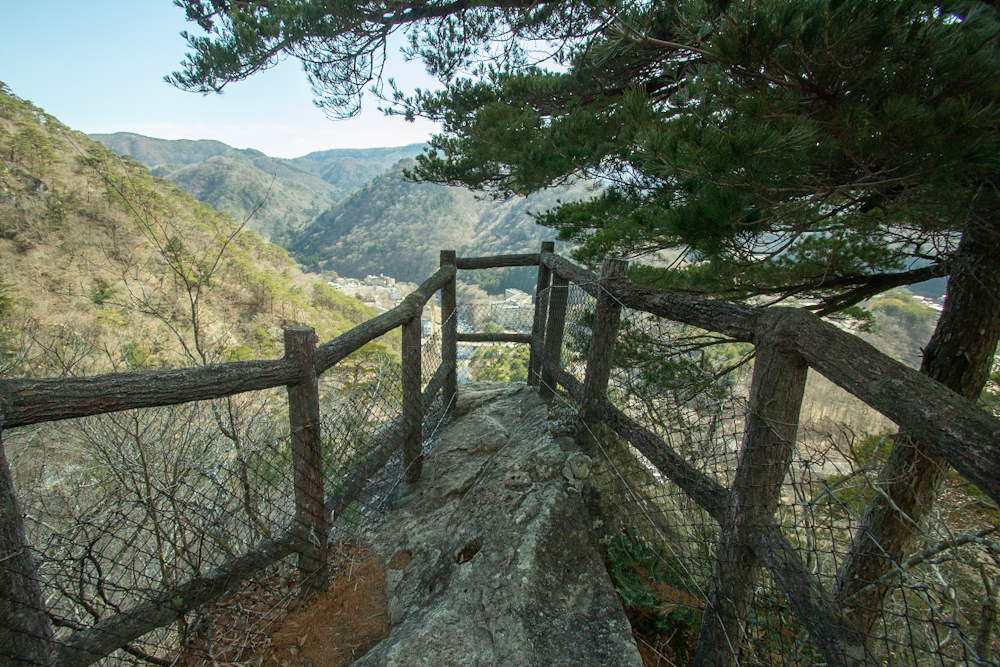
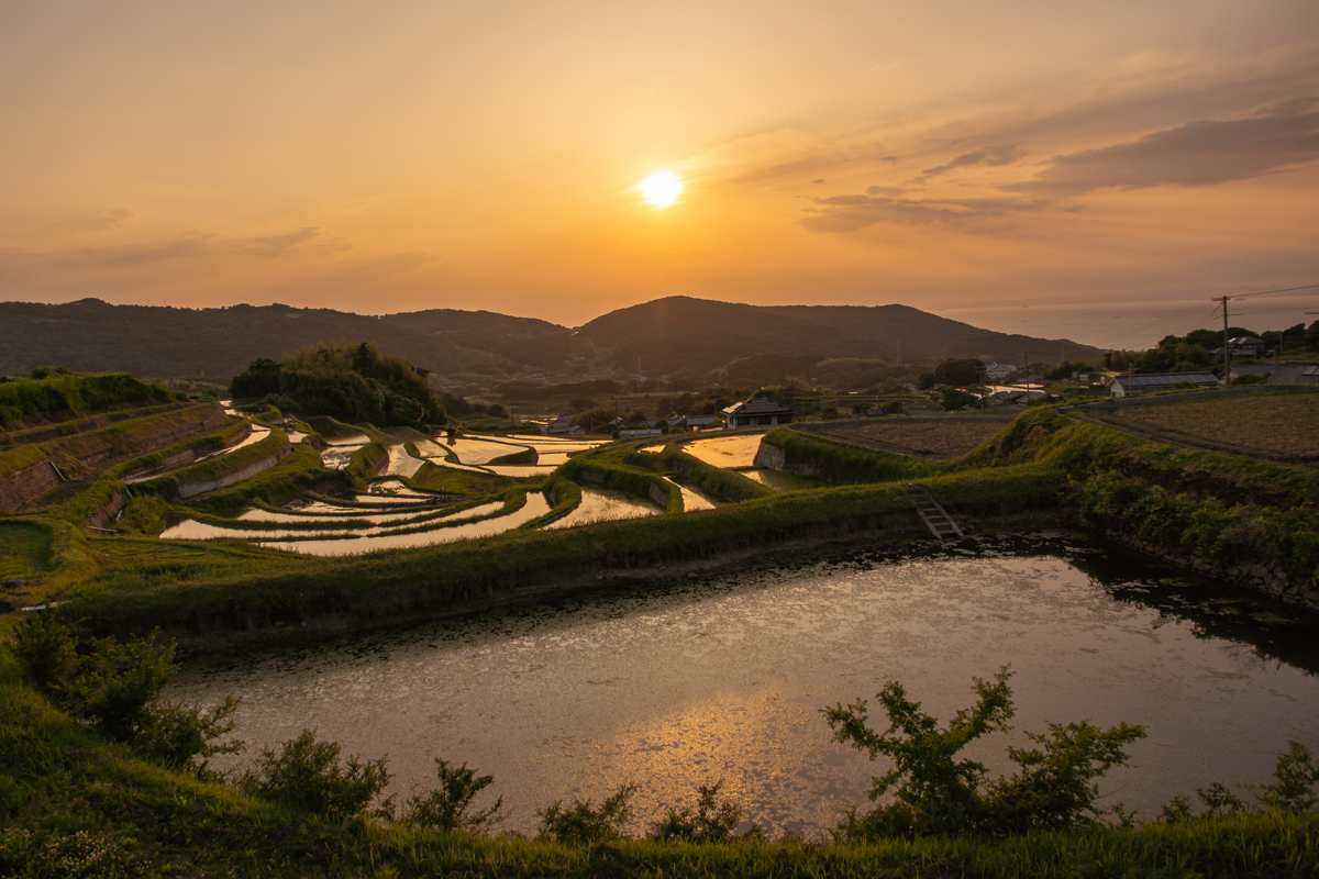
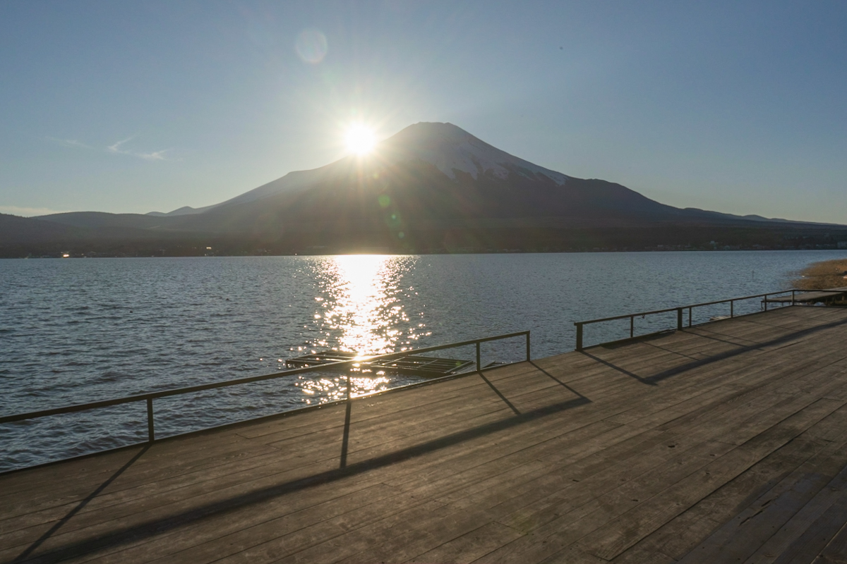
The current Satta Pass is a scenic spot where you can see Mt. Fuji. From the observation deck at Satta Pass, you can see Mt. Fuji, Suruga Bay, Izu Peninsula, and Miho Peninsula. There are also two hiking trails from Okitsu Station in Shimizu Ward, Shizuoka City, Shizuoka Prefecture that lead to the observation deck of Satta Pass.
① Satta Kamimichi Course: Total travel distance approximately 3.4km, travel time approximately 50 minutes on foot
② Satsuma Nakamichi Course: Total travel distance approximately 2.9km, travel time approximately 45 minutes on foot
❺It is now safe to travel along the coastline.
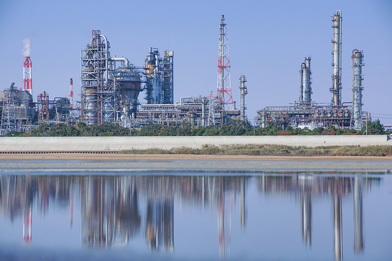
It is now possible to safely travel along the coastline without passing through Satta Pass. The original Satta Pass was a mountain pass with steep cliffs and was extremely inconvenient for transportation. However, in 1854, a large earthquake caused the sea below Satta Pass to rise. This allowed people at the time to safely travel along the coastline without having to go through the Satta Pass.
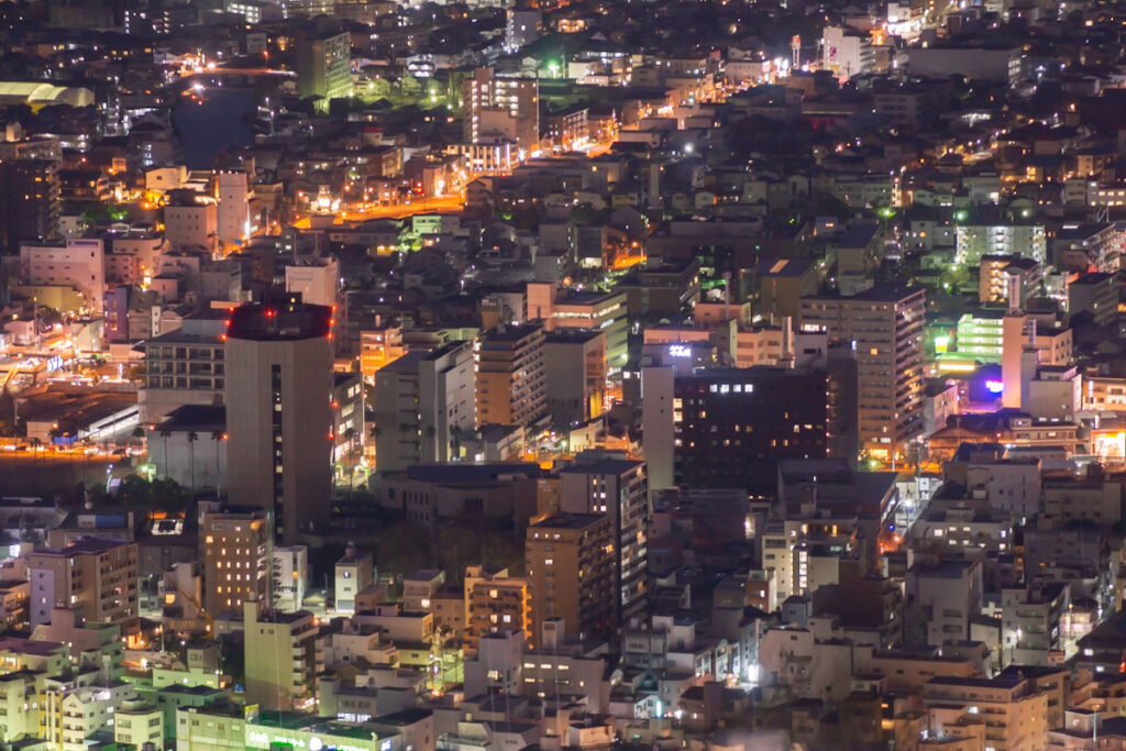
Also, in modern times, the coastline has undergone major construction many times, and the road width has been expanded rapidly. This coastline will eventually become the Tokaido Main Line, National Route 1, and the Tomei Expressway.butIt will open. As a result, there is no trace of the current Satta Pass, which was once said to be one of the three most difficult spots on the Tokaido.
➁Introducing tourist spots around Satta Pass.
Here we will introduce in detail the tourist spots around Satta Pass.
❶Sirahige Shrine
Sirahige Shrine is a shrine located in Okitsu Higashi-cho, Shimizu Ward, Shizuoka City, Shizuoka Prefecture. Shirahige Shrine is located about 1 km from Satta Pass. This is a shrine where the god of guidance is enshrined. For this reason, it is worshiped as the great deity of Michihiraki, who “guides everything in a good direction.” It has the benefit of success in studies and work, as well as warding off evil spirits and disasters.
❷Kaigan Temple
KaiganThe temple is located in Okitsu Higashi-cho, Shimizu Ward, Shizuoka City, Shizuoka Prefecture.KaiganThe temple is located approximately 1.1 km from Satta Pass. This is a small temple located halfway up the mountain from the entrance of the promenade heading from Okitsu Higashimachi to Satta Pass. You can see a spectacular view of Suruga Bay from in front of the temple.
➂ Access information to Satta Pass
Here you will find detailed information about access to Satta Pass. The address of Satta Pass Observation Deck is “Yui Nishi Kurasawa, Shimizu Ward, Shizuoka City”.
❶Route from Shimizu IC to Satta Pass Observation Deck by car
Shimizu IC (Ibara-cho, Shimizu-ku, Shizuoka City, Shizuoka Prefecture) ⇒ National Route 1 ⇒ Satta Pass Observation Deck
The total travel distance is approximately 32.4 km, and the travel time is approximately 32 minutes.
Summary 【Satta Pass】
This time, we introduced Shizuoka Prefecture’s Satta Pass, a difficult spot on a steep cliff that has the best view of Mt. Fuji on the Tokaido. Satta Pass in Shizuoka Prefecture was once famous as a difficult point on the Tokaido Road, with cliffs so steep that it was depicted as the subject of ukiyo-e prints. However, now that roads have been improved, observation decks and coastlines have opened, making it a place with convenient transportation.Become. As a result, you can see the majestic Mt. Fuji from the Satta Pass Observation Deck, making it the best viewing point of Mt. Fuji in Tokaido. When you visit Shizuoka Prefecture, why not stop by Satta Pass?
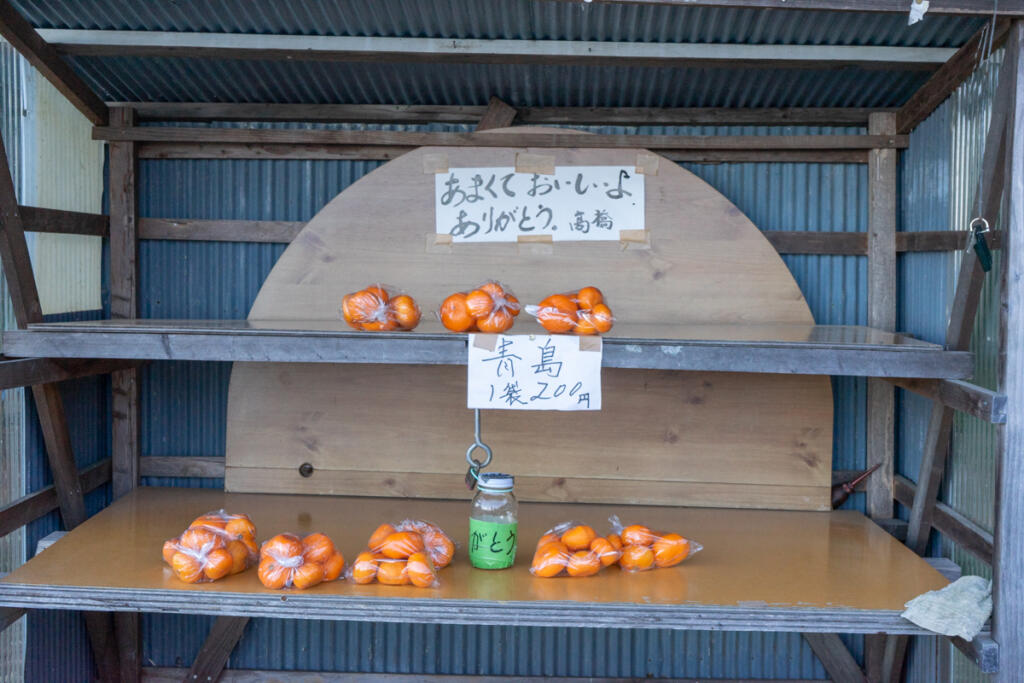
▲Official site
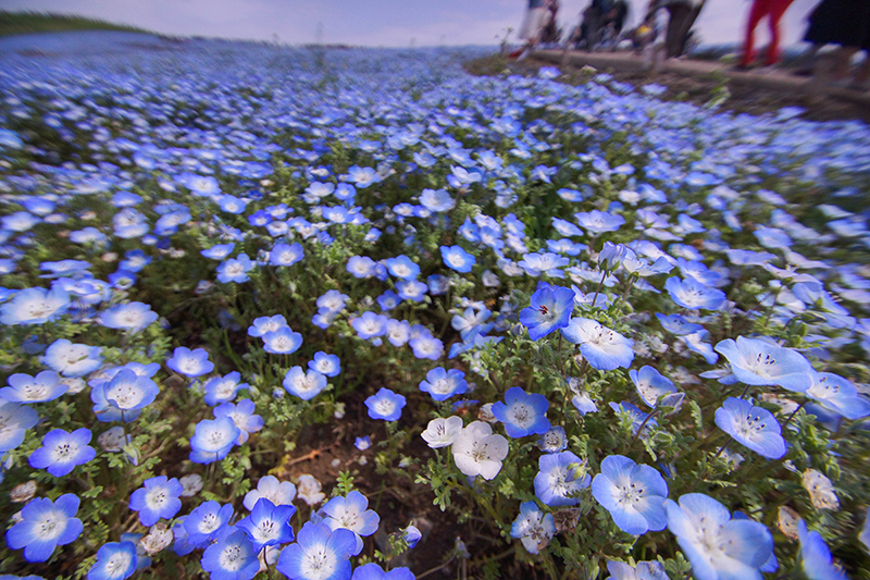
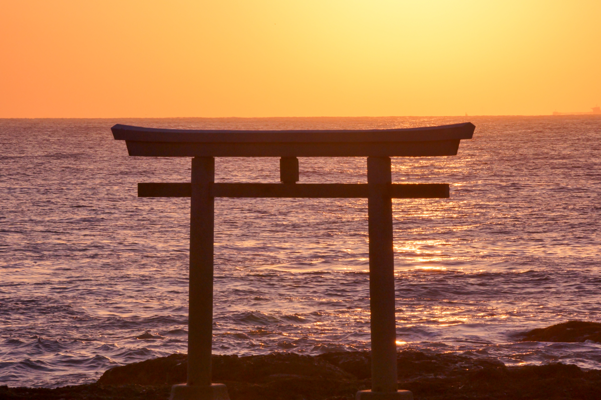
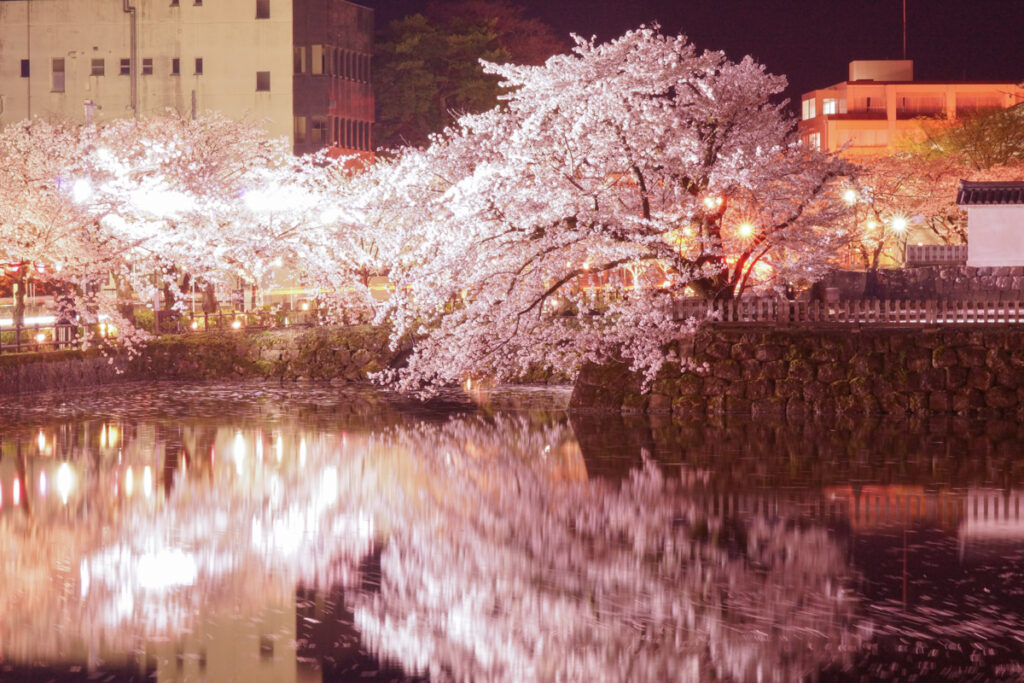
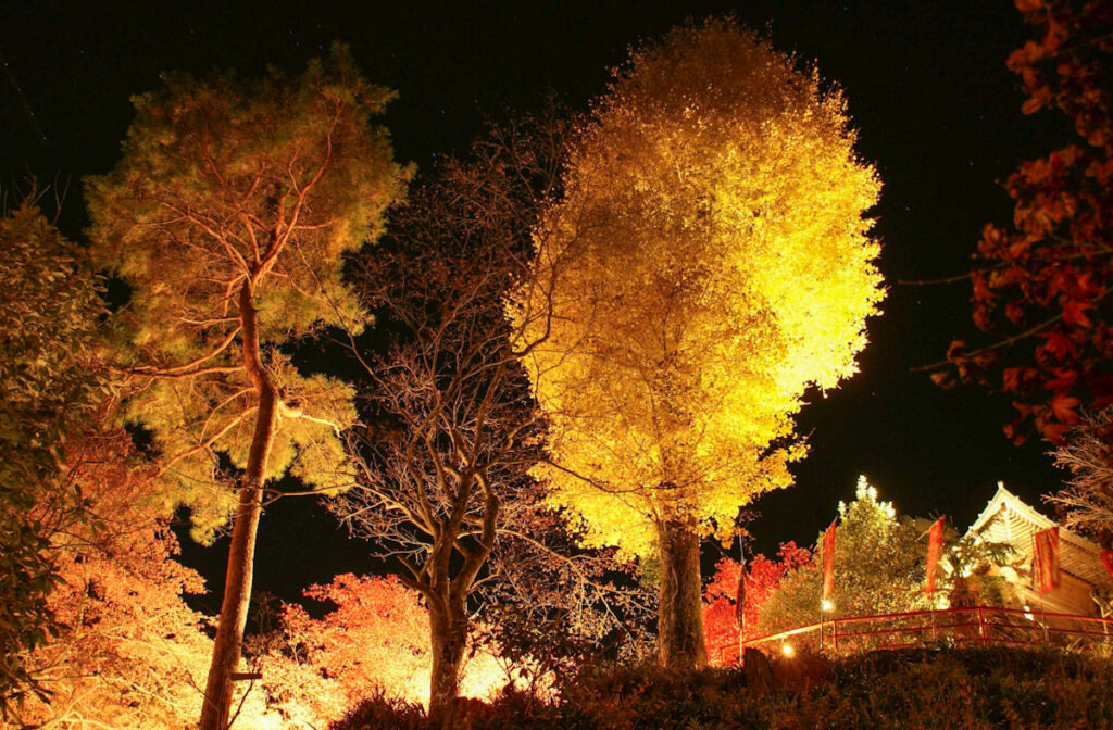
Thank you for reading to the end. I will continue to convey the beauty of Japan. I hope to enrich your lives even a little. I look forward to your opinions and feedback. I hope you will check out other content on Instagram and YouTube.
See you again…
▲ I will continue to post more like this in the future. Thank you for your support.
Reactions from people in various countries‼︎


Comment